
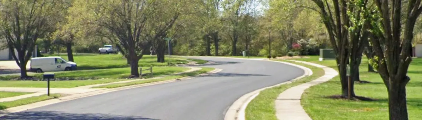
Highlands Parkway traffic calming
Highlands Parkway has been identified by a traffic study as having vehicles operating at speeds higher than desirable. The City of Columbia Public Works department is beginning a traffic calming project for the corridor and is seeking public input on potential solutions.
A second meeting has been scheduled for Tuesday, Oct. 13 from 6-7 p.m. in the gym of The Church of Jesus Christ of Latter-day Saints, 4708 Highlands Parkway.
The first meeting was held June 18. Residents and community members were invited to review potential traffic calming concepts, ask questions and share feedback with City engineering staff.
In the Documents section on the right side of this page, you can find the following files:
Highlands Parkway traffic calming project location – A map showing the project area on Highlands Parkway.
Highlands Parkway speed study data – A map showing traffic volumes (the number of vehicles) traveling in each direction, along with the 85th percentile speed measured during the traffic study. The 85th percentile speed is a commonly used traffic engineering measurement that represents the speed at or below which 85% of vehicles were traveling. For example, an 85th percentile speed of 37 mph means that 85% of drivers were traveling 37 mph or slower, while 15% were traveling faster than 37 mph.
Highlands Parkway street profile - This PDF contains two engineering plan-and-profile sheets for Highlands Parkway. The document is intended to show the roadway's horizontal alignment and ground elevations along the project corridor. Each sheet is divided into two sections. The upper section contains a plan view, which is an aerial view of Highlands Parkway. The roadway centerline is shown with engineering stationing marked at regular intervals. Adjacent streets and intersections along Highlands Parkway are labeled. The lower section contains a profile view, which shows the change in ground elevation along the roadway. The horizontal axis corresponds to the same stationing shown in the plan view above, while the vertical axis represents elevation in feet. Existing ground elevations are shown as a dashed line, and intersecting streets are identified at their corresponding locations along the profile. Together, the plan and profile views provide a visual representation of the roadway layout and terrain along Highlands Parkway. The document is intended as reference information for the Highlands Parkway traffic calming project and does not depict any proposed traffic calming improvements.
Highlands Parkway Traffic Calming Plan - These three PNG images contain engineering plan sheets for Highlands Parkway. The document shows the location of planned traffic calming features along the project corridor. Each sheet is divided into three viewports with match lines showing where the viewports overlap. Adjacent streets and intersections along Highlands Parkway are labeled. House address numbers are labeled. Names and dimensions of each proposed traffic calming feature are labeled. Traffic calming features include speed humps, speed tables, a painted bike lane, crosswalk with bulb outs and a crosswalk. Types and locations of proposed street signs are labeled. Proposed street signs include W11-2 R/L Pedestrian Crossing and W16-7P R/L Diagonal Downward Arrow at each crosswalk, and W17-1 Speed Bump and W13-1 Advisory Speed Plaque (20 MPH). Each viewport is at a 1"=30' scale.
Annotated Highlands Parkway Traffic Calming Plan - This PNG image contains one annotated engineering plan sheet for the Highlands Parkway Traffic Calming Project. The document is intended to show the location of planned traffic calming features along the project corridor. The sheet is divided into two evenly sized viewports, one occupying the top half of the page and one occupying the bottom half of the page. Annotated callouts are included with a text box, leader line and arrowhead pointing at each proposed traffic calming feature. Traffic calming features include speed humps, speed tables, a painted bike lane, crosswalk with bulb outs and a crosswalk. Adjacent streets and intersections along Highlands Parkway are labeled. Each viewport is at a 1:125 scale.
-

Phone 573-874-2489 Email John.Ogan@CoMo.gov -
JR
Phone (573) 874-7688 Email jacob.ray@como.gov
-
 Highlands Parkway traffic calming project location (252 KB) (pdf)
-
Highlands Parkway speed study data (2.9 MB) (pdf)
-
Highlands Parkway street profile (4.67 MB) (pdf)
-
Annotated Highlands Parkway Traffic Calming Plan.png (23.5 MB) (png)
-
Highlands Parkway Traffic Calming Plan 1.png (18.4 MB) (png)
-
Highlands Parkway Traffic Calming Plan 2.png (15.8 MB) (png)
-
Highlands Parkway Traffic Calming Plan 3.png (15.9 MB) (png)


